The geography of Haiti
On the western third of Hispaniola, where mountains meet the Caribbean Sea — a land of dramatic peaks, coastline, and storied landmarks.
Land of mountains
Haiti's name comes from the Taíno word for 'land of high mountains.' The country is roughly 75% mountainous, with ranges like the Massif du Nord and the Chaîne de la Selle cutting across the landscape.
Caribbean coastline
Haiti has over 1,700 km of coastline on the Atlantic and Caribbean, with beaches, bays, and coral reefs. The northern Labadie peninsula is famous for its turquoise waters.
Climate & ecology
Tropical and varied — from humid coastlines to cooler highlands. Once heavily forested, Haiti now faces serious deforestation challenges that conservation efforts are working to reverse.
Landmarks of Haiti
Monuments and natural wonders that tell Haiti's story.
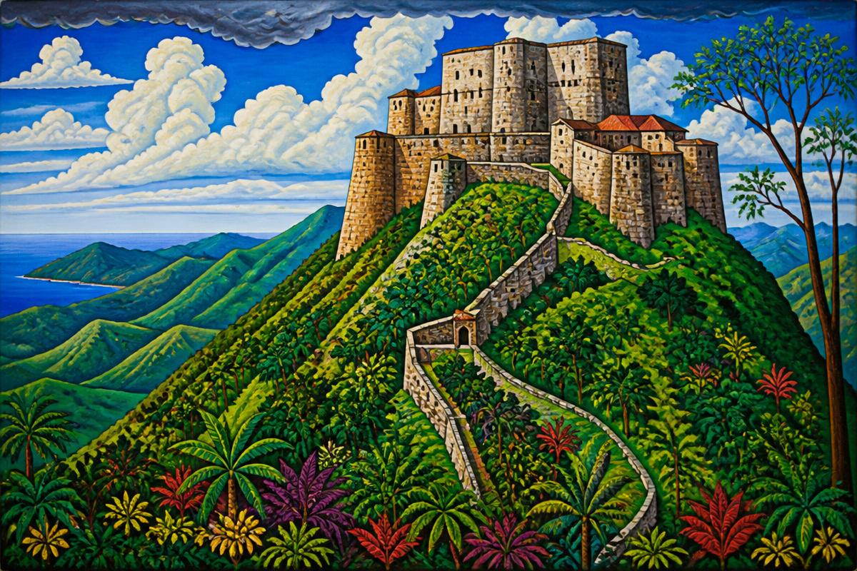
Citadelle Laferrière
900 m elevationA vast mountaintop fortress built by Henri Christophe after independence, the largest fortress in the Americas and a UNESCO World Heritage site — a symbol of Haiti's defense of its freedom.
Sans-Souci Palace
UNESCO siteThe ruined royal palace of King Henri I near Milot, once a grand seat of power modeled on European courts — now a haunting UNESCO World Heritage site.
Pic la Selle
2,680 mHaiti's highest peak at 2,680 m (8,793 ft), in the Chaîne de la Selle range, part of the La Visite National Park ecosystem.
Île-à-Vache
Southern coastA small, lush island off the southern coast with quiet beaches and fishing villages — one of Haiti's most beautiful and tranquil corners.